


Mesquite Flat Sand Dunes
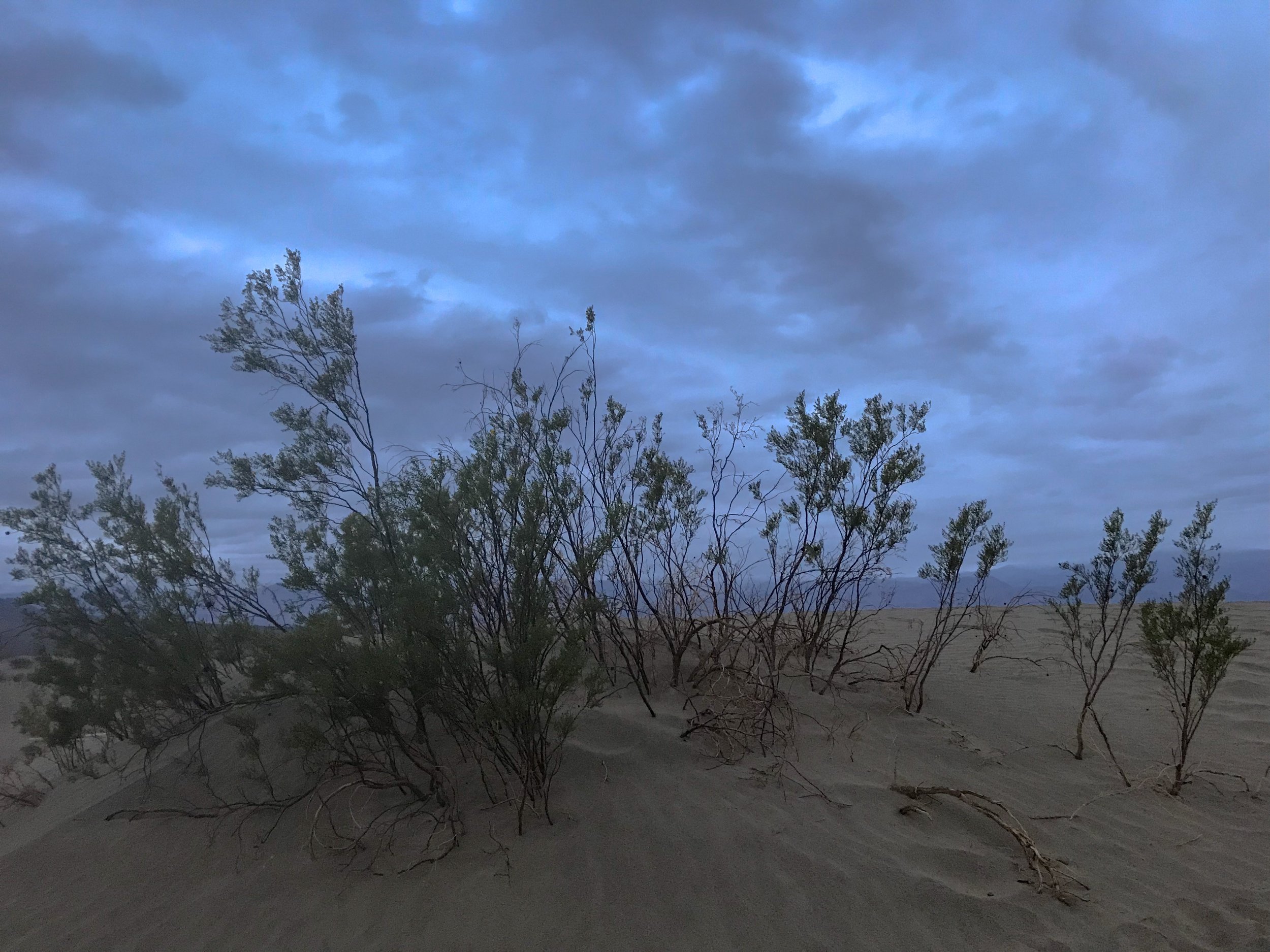
Just a few of the shrubs found among the Mesquite Flat Sand Dunes.
Photo By: Nichole McDaniel
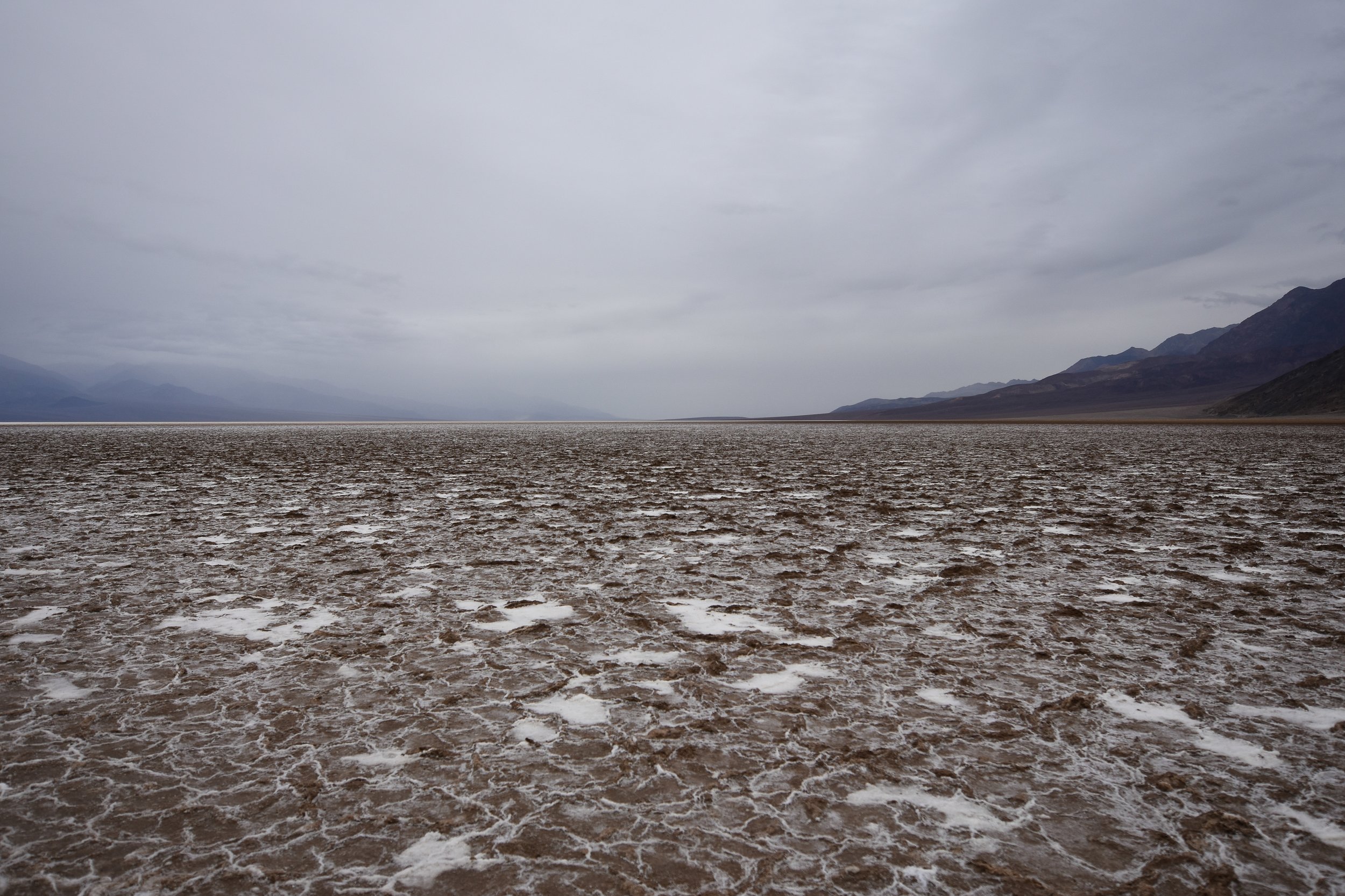
Having my day slightly planned out, my goal was to photograph the Mesquite Flat Sand Dunes at sunset. It was a little longer drive, but on my way out of the park. Timing wise, I got there just in time for sunset with the hope that the sun would peak out of the clouds. I hiked several sand dunes. Considering the fact I had just drove over 4 hours through the night in the rain, slept in the freezing weather in my car, and had just explored Death Valley all day in the rain, I was tired but determined.
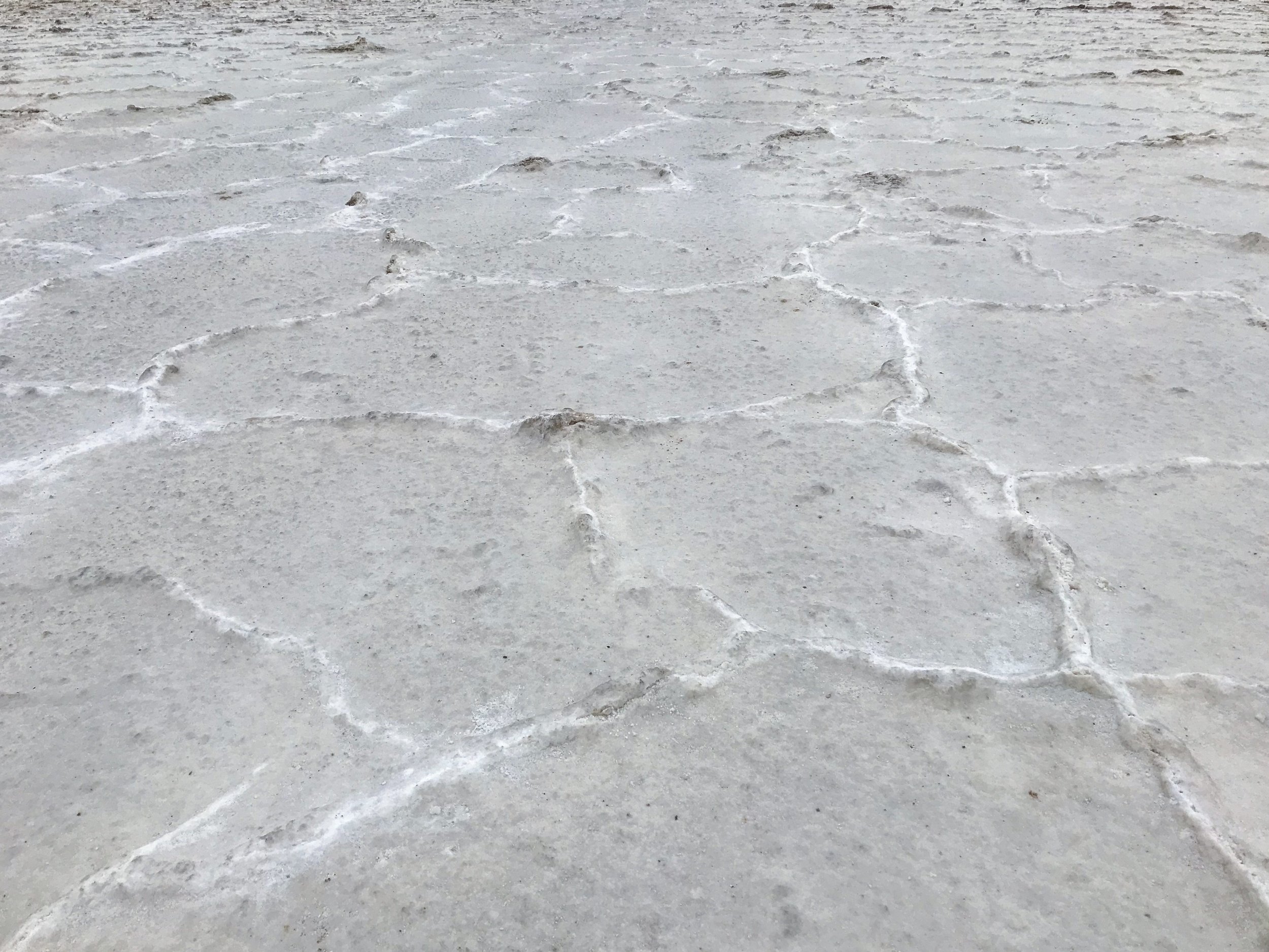
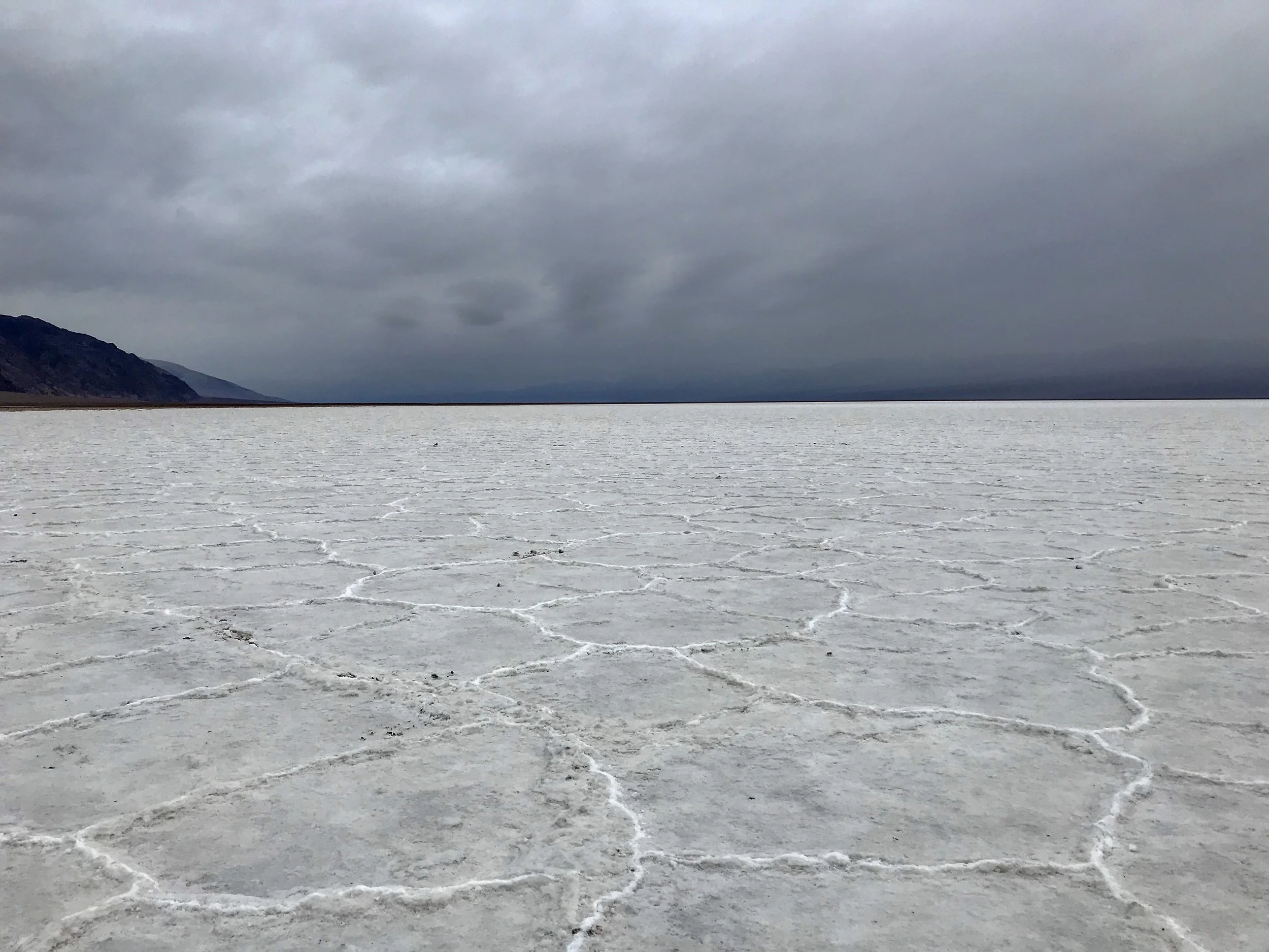
There are photos shot here with amazing shadows cast on the smooth wind blown dunes. Today the small amount of rain from throughout the day packed the sand to the ground, making it more textured than smooth. I can see the potential for amazing shots here especially at sunset or sunrise. I will just have to come back.
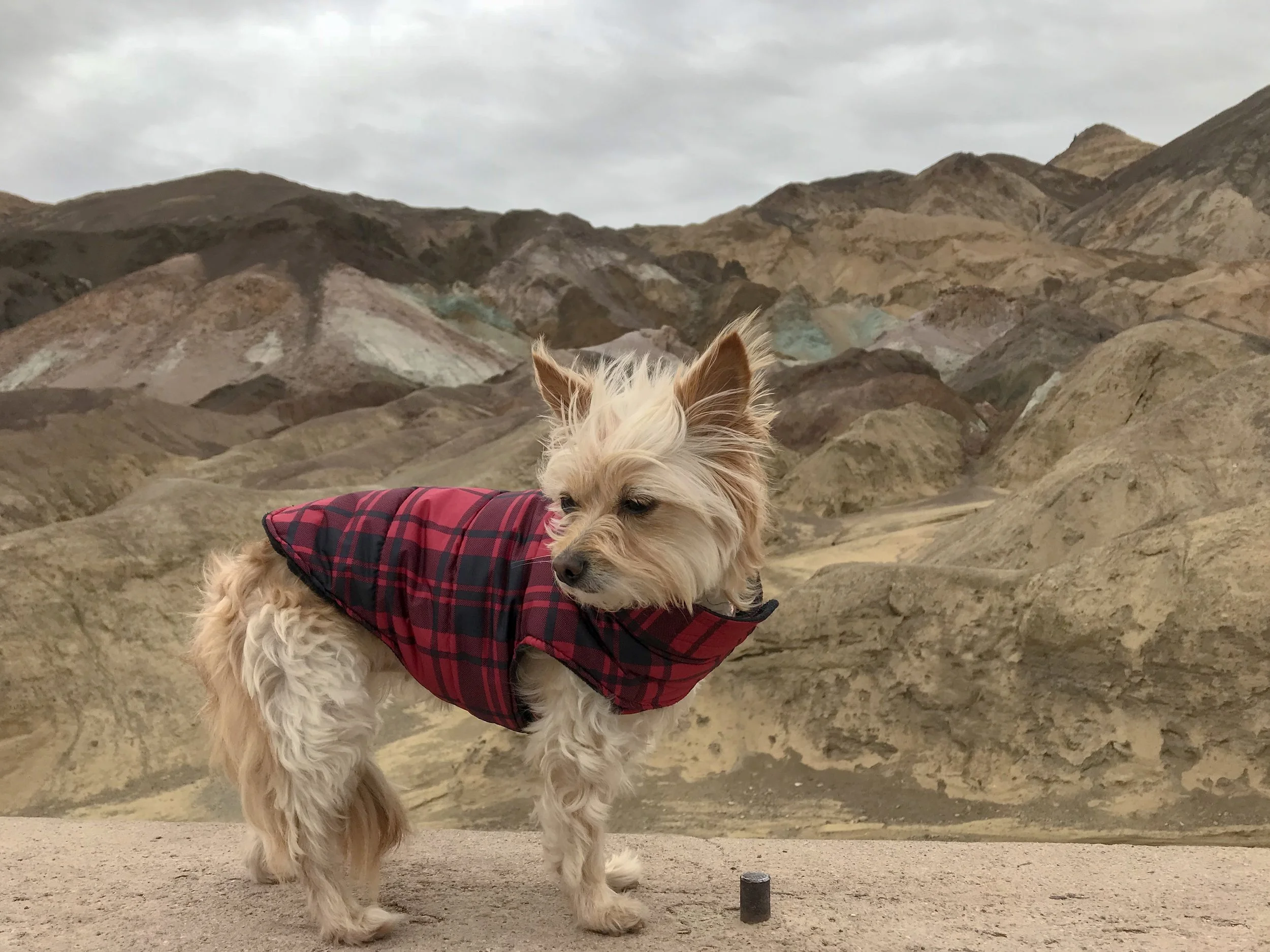
Before I visited Death Valley or started researching it, I couldn’t understand why anyone would go to Death Valley. Death Valley is actually the largest National Park in the Continental United States and probably one of the most unique. With amazing hikes and unique landscapes this is defiantly a must see. Just time it right with the weather and come prepared. I only spent one day here but could easily have stayed the night and enjoyed hiking and exploring more of the desert.
Now to begin the drive to The Sequoia National Forest… Day 2

Sunset glow over the Mesquite Flat Sand Dunes in Winter. Death Valley, CA.
Photo By: Nichole McDaniel