After a beautiful night of stargazing, I thought it would be a memorable next morning watching the sun rise over the canyon. We woke early and could tell it was a crisp morning. We should have worn pants and long sleeves! With our camping chair, tripod and camera we felt ready for a to capture the sunrise. What we didn't account for was the wind and how cold it would be. Ben kept me company for about 10 minutes and decided it was too cold. He enjoyed enough of the sunrise. I froze but managed to stay another 10 minutes to get the shots I wanted. I was chilled by the time I got to the cabin. It was probably around 7 so we curled up in bed to warm up and get some more rest.
Day 6 - Bryce Canyon National Park -Exploring & Stargazing
The great thing about our cabin was its proximity to the Rim Trail where we had walked earlier in the day (about a 3 minute walk). We grabbed our camping chairs and enjoyed our beers while watching the sunset and the stars slowly emerge, one by one. I don't know if I have ever seen so many stars. I grabbed my tripod for my camera to attempt a little astrophotography. I know they aren't great compared to other photographers, but I was excited to test it out and capture this cool experience we shared together. I will definitely be exploring the stars more with my camera. I can see how addicting it can be.
Day 6 - Bryce Canyon National Park, Utah
Now that we had time to explore the hoodoos and the canyon, we decided to hike Queens Garden Trail and a portion of Navajo Loop, which is a great hike 2.9 mile loop and highly recommend. It is easier if you have appropriate hiking shoes. I had my adventure shoes on, Ben did not. There were sections where we were a bit more careful!
Day 5 - Sunset at Bryce Canyon
When I glanced at the map, I thought if I were able to get to the Natural Bridge by sunset it would be a great place to photograph. I arrived about an hour before sunset, took a couple photos, and decided to venture on. In the park there is a road that takes you all the way through it. Bryce Canyon has some beautiful, easily accessible view points. Near the end of Bryce Canyon are Rainbow and Yovimpa Point, providing views of the rock layers called the Grand Staircase. The elevation here is 9100 ft and you find yourself surrounded by Blue Spruce, Douglas Fir and White Fir trees. I was fortunate and there were really only a few cars in the parking lot. I was able to walk around and take in the views with only a couple of other tourists.
Day 4 - Historical Downtown - St. George, Utah
St. George was named in honor of a Mormon apostle named George A. Smith. After urging early settlers to eat raw, unpeeled potatoes to cure scurvy, he became known as the Potato Saint. George Smith was a first cousin of Brigham Young, who had winter home in St. George from 1873-1876. We were able to stop by and walk the grounds but the inside of museum was closed.
Day 4 - Quail Creek State Park, Utah
The lake isn't very big and there wasn't too much to explore, which was nice in comparison to other, more crowded lakes nearby. It was pleasant how quiet it was and we were able to relax and take in the surrounding mountains. Each of us enjoyed taking a moment to cool off in the water. This was one of the most memorable parts of the trip for me. Just taking it in and enjoying time with Ben.
Day 3 - On the Road Again
Shortly after we turned onto Highway 89A, before Marble Canyon, there is the Navajo Bridge. I recommend you pull over. This bridge, completed in 1928, sits atop the Colorado River. At the time it was the highest steel arch bridge in the world, providing the much needed access between Arizona and Utah.
Day 3 - On the Road Again - Arizona and Utah
Heading north on the 89, we came across an abandoned and vandalized gas station and a motel. The gas station had vibrant murals that caught my eye from the side of the road. Ben and I decided to pull over and jumped out to take some photos. The color of the buildings, art, and desert background provided great material for my photos. The Native American imagery was beautiful and told a story.
Day 2 - The Grand Canyon - South Rim
Having already completed our almost 4.5 mile hike that morning in Sedona, we were looking forward to viewing the the Grand Canyon and walking along the Rim with Miss Reagan. Upon arrival, the visitors center was closed. They had signs throughout that area giving suggestions on what to visit and how much time it would take to visit the various destinations within the Grand Canyon. Only a 5 minute walk from the visitors center is Mather Point, one of the most popular spots in the Grand Canyon. There were a number of tourists at the Grand Canyon. That being said, I imagine there would have been many more if not going through a pandemic.
Day 2 - The Devil's Bridge - Sedona, Arizona
We ended up at the trailhead before sunrise, right around 5:45AM. When we parked, there was plenty of parking. The pastel colors in the sky were glowing, highlighting a hot air balloon in the distance. A deer nearby silently strolled the fence line. All positive signs for the beginning of our hike and for our trip.
Day 1 - Pandemic Road Trip - Setting out for Adventure
Day 5 - Zion National Park, Utah
I had visited Zion in April 2019 and was really looking forward to going back to do some of the hikes. This was not the right time for hiking. The Narrows had bacteria, part of Angel's Landing was closed, and the park was very crowded. That being said, it was only 45 minutes away. Driving through the park was still very fun and a sight to see. The winding road provided for a breathtaking drive with plenty of pullouts to stop and admire the view. Zion is amazing if you haven't been, I recommend staying in the park or in Springdale to enjoy Zion.
Sunrise at Pfeiffer Beach, Big Sur
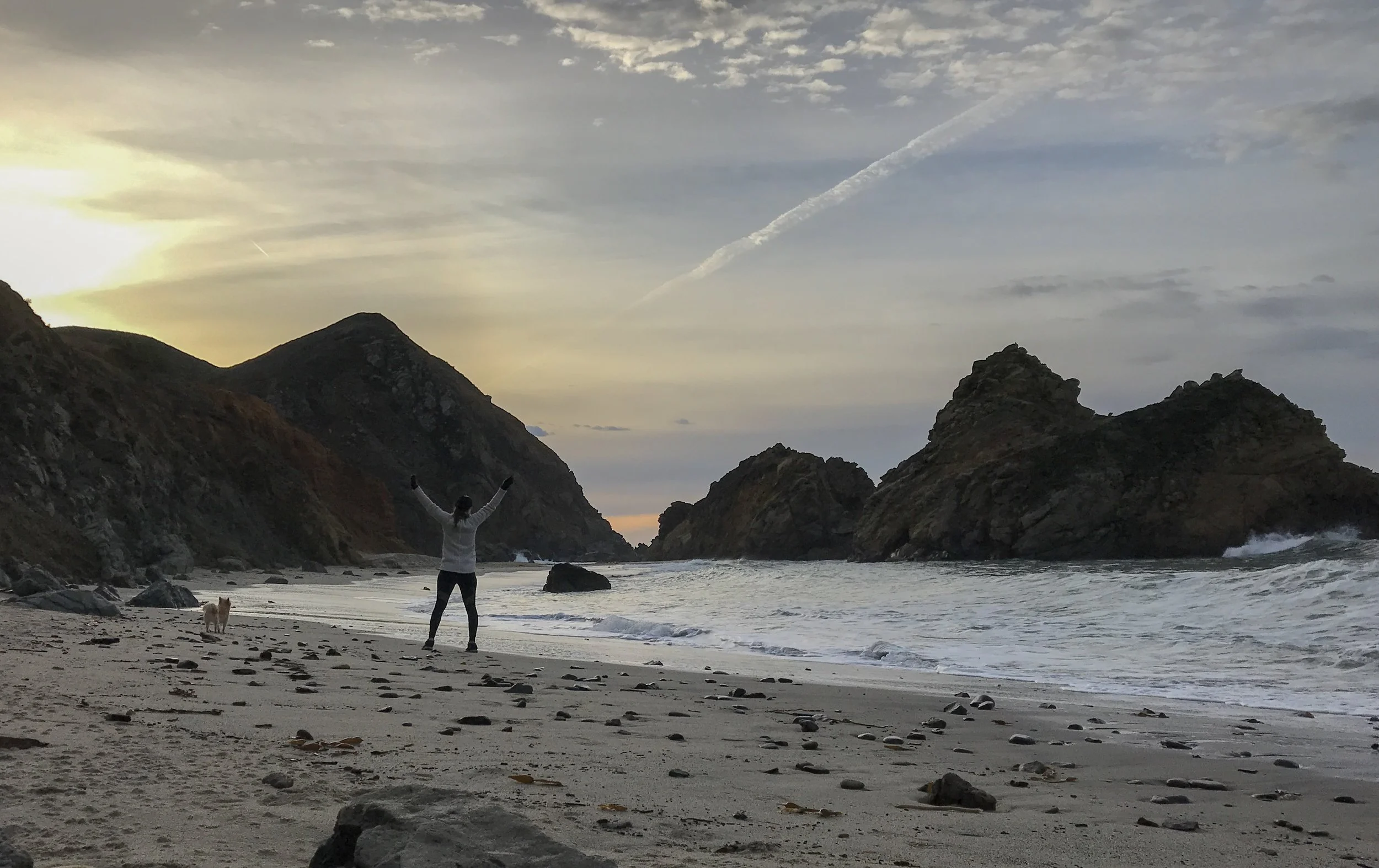
My goal was to capture the sunrise at the beach, maybe I should have left a little sooner to get my camera set up. But I was still made it for the experience I was hoping for. This beach was perfect. I drove part of Big Sur in the dark to get there but it is easily accessible from a road off of Highway 1. The short walk to the beach only built up the anticipation of what the beach and sunrise would look like.
Monterey & Carmel by the Sea
Santa Cruz and The Mystery Spot
Our next destination was the “Mystery Spot,” and we didn’t really know what to expect. This illusion-based tourist attraction is in the middle of the woods, down a windy one lane road. When you get there you find a really unique tourist attraction, including a souvenir shop, food and plenty of photo opportunities. The tours are $8 a person, plus $5 per vehicle for parking, cash or check only and tours last about 45 minutes.
Sunset at Sequoia National Forest
After a short drive down the road I found my self at the parking lot for General Sherman and also Congress Trail. The parking lot isn’t large and I had to wait until someone left. A 1/2 mile on the trail you come up to the General Sherman. The General Sherman is considered the largest tree on Earth by volume. It is not the tallest or widest, but it weighs approximately 2.7 million pounds. Still growing, it’s growth produces enough added volume to create a 60 ft / 1 ft diameter tree every year!
Sequoia National Forest and General Sherman
After a short drive down the road I found my self at the parking lot for General Sherman and also Congress Trail. The parking lot isn’t large and I had to wait until someone left. A 1/2 mile on the trail you come up to the General Sherman. The General Sherman is considered the largest tree on Earth by volume. It is not the tallest or widest, but it weighs approximately 2.7 million pounds. Still growing, it’s growth produces enough added volume to create a 60 ft / 1 ft diameter tree every year!
A Day in Death Valley: Mesquite Flat Sand Dunes
Mesquite Flat Sand Dunes
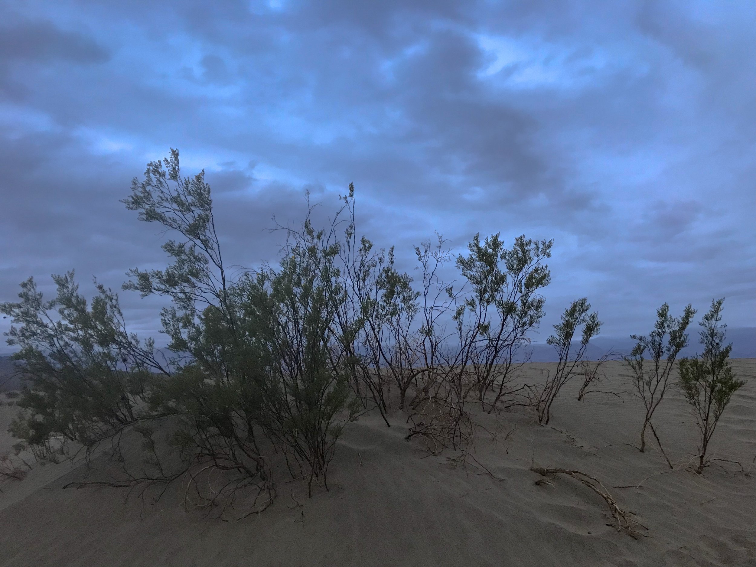
Just a few of the shrubs found among the Mesquite Flat Sand Dunes.
Photo By: Nichole McDaniel
Having my day slightly planned out, my goal was to photograph the Mesquite Flat Sand Dunes at sunset. It was a little longer drive, but on my way out of the park. Timing wise, I got there just in time for sunset with the hope that the sun would peak out of the clouds. I hiked several sand dunes. Considering the fact I had just drove over 4 hours through the night in the rain, slept in the freezing weather in my car, and had just explored Death Valley all day in the rain, I was tired but determined.
There are photos shot here with amazing shadows cast on the smooth wind blown dunes. Today the small amount of rain from throughout the day packed the sand to the ground, making it more textured than smooth. I can see the potential for amazing shots here especially at sunset or sunrise. I will just have to come back.
Before I visited Death Valley or started researching it, I couldn’t understand why anyone would go to Death Valley. Death Valley is actually the largest National Park in the Continental United States and probably one of the most unique. With amazing hikes and unique landscapes this is defiantly a must see. Just time it right with the weather and come prepared. I only spent one day here but could easily have stayed the night and enjoyed hiking and exploring more of the desert.
Now to begin the drive to The Sequoia National Forest… Day 2
Sunset glow over the Mesquite Flat Sand Dunes in Winter. Death Valley, CA.
Photo By: Nichole McDaniel
A Day in Death Valley: Badwater Basin
Badwater Basin
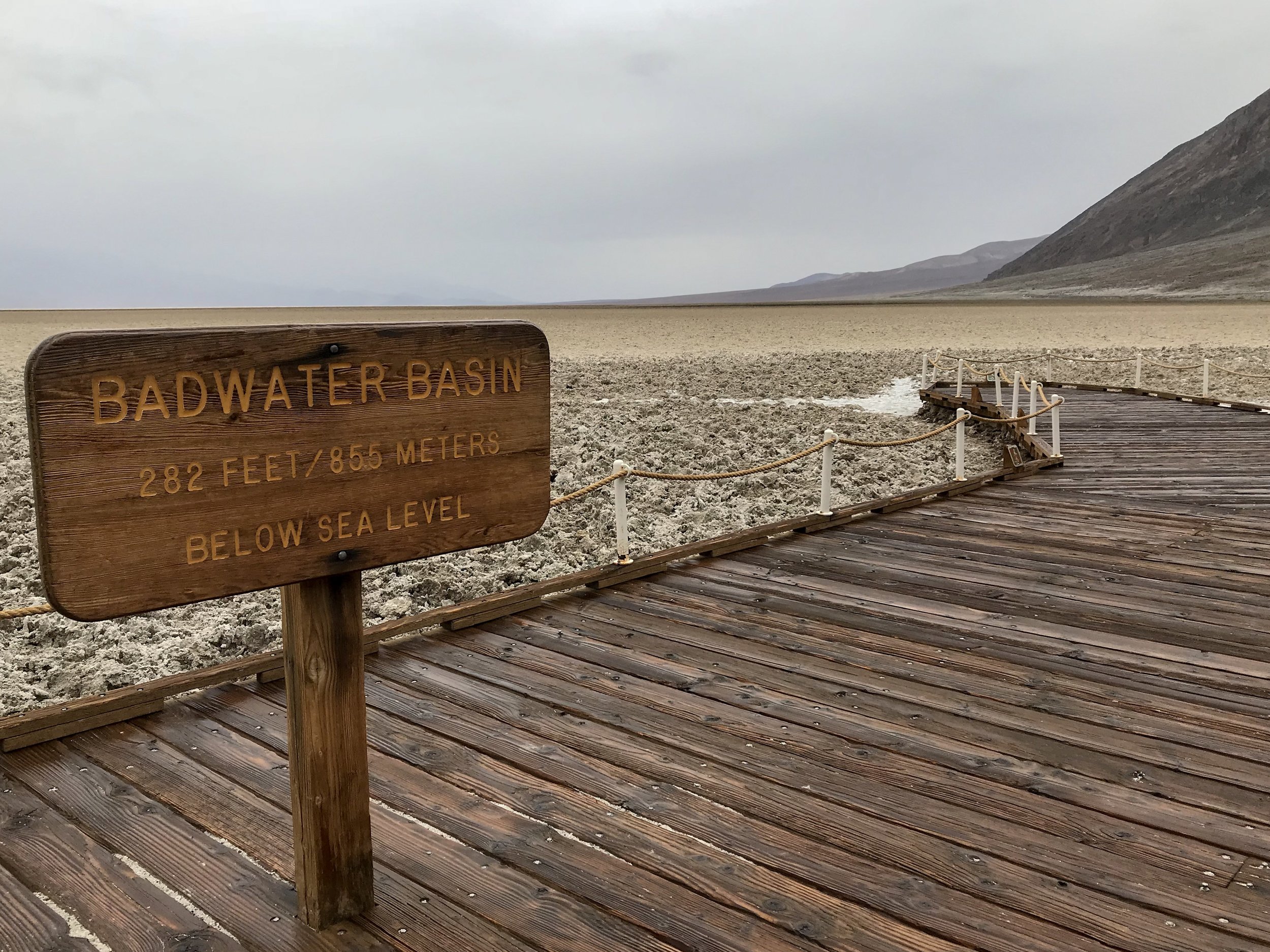
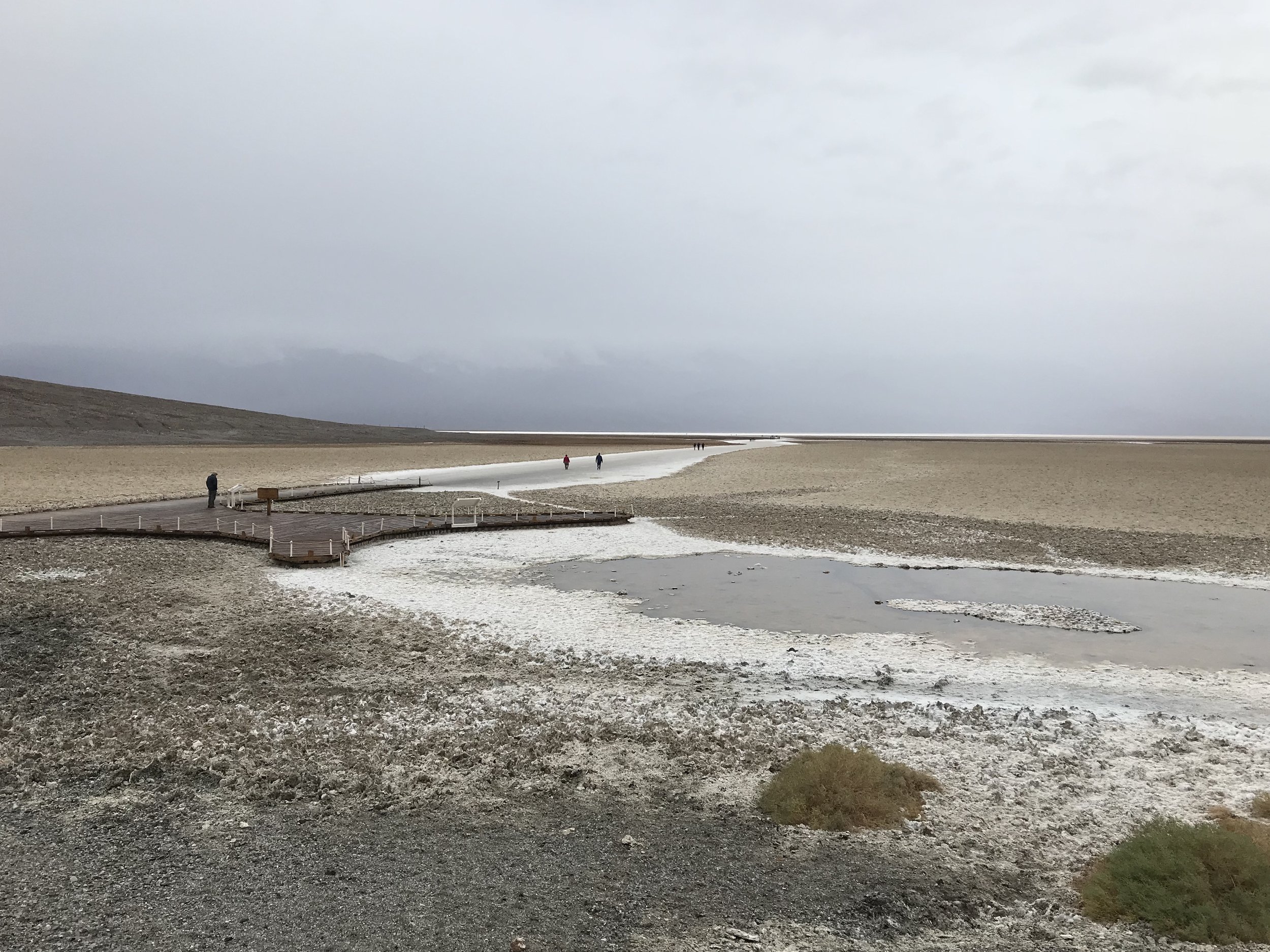
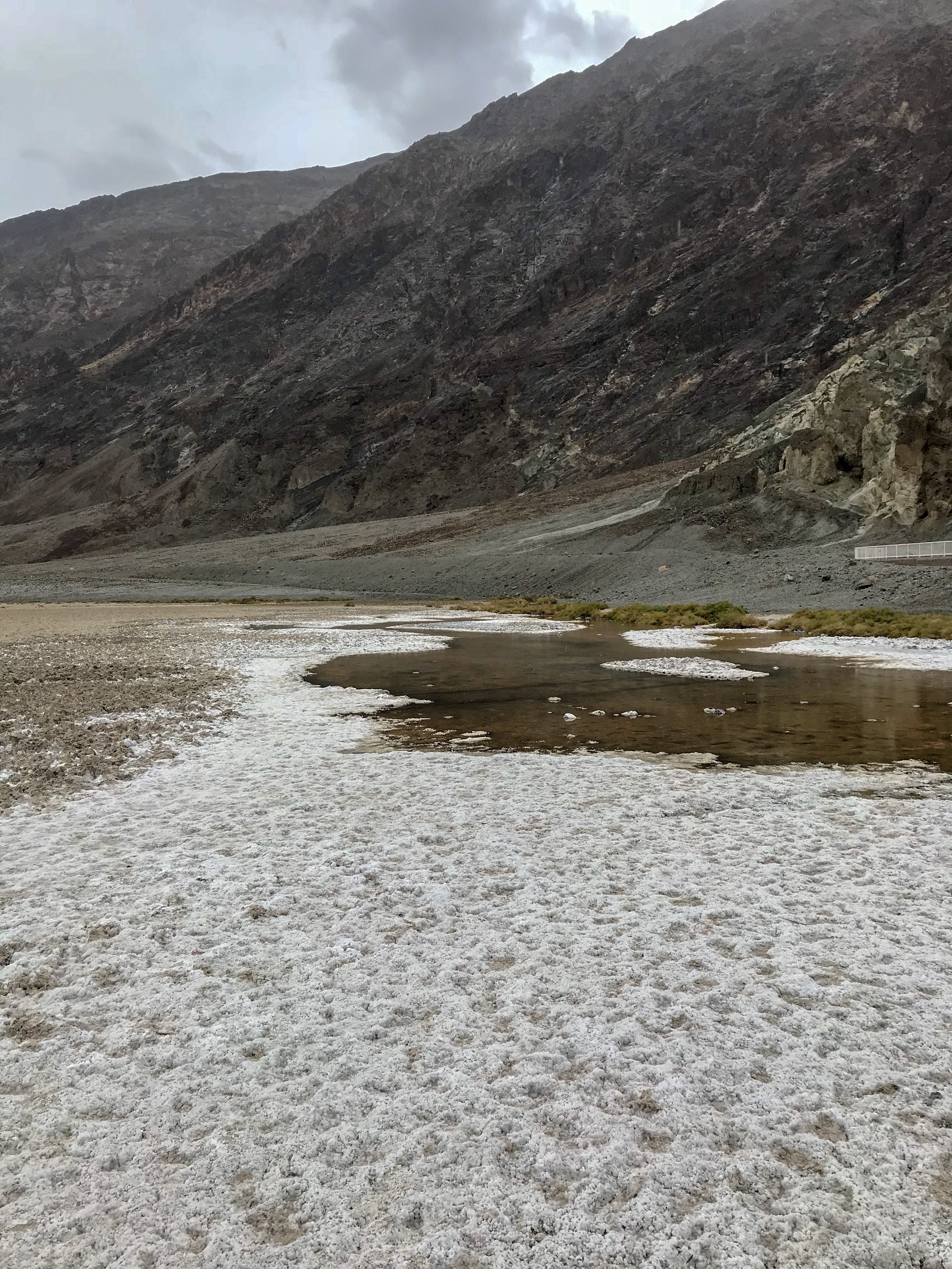
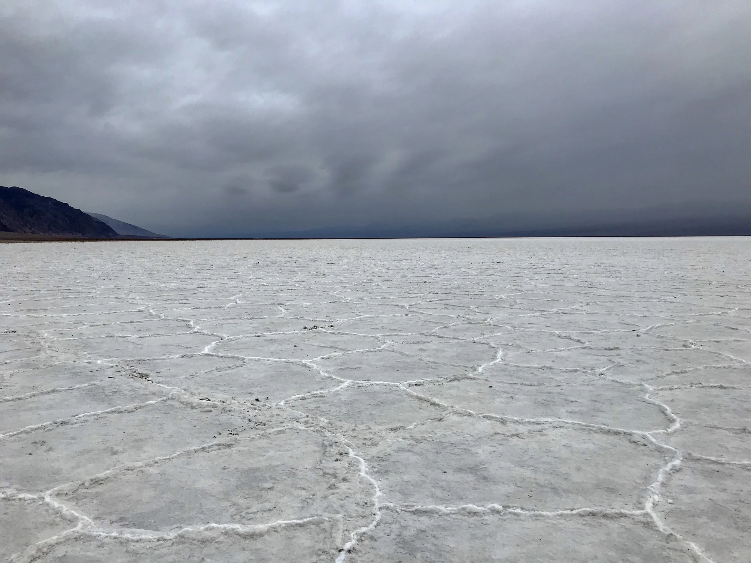
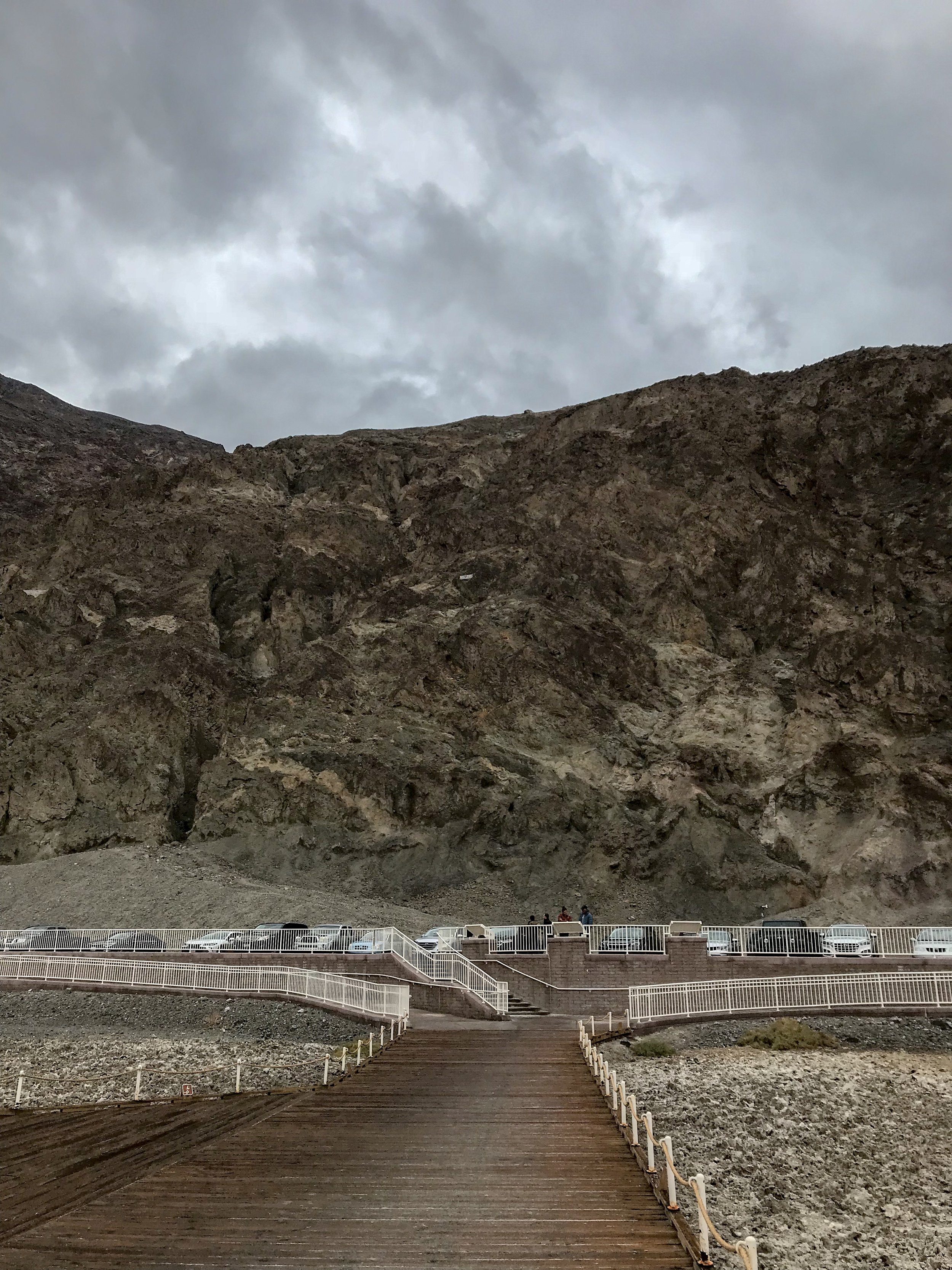
One of the most memorable experiences of my trip was Badwater Basin. Rain stopped for a moment and I was able to enjoy the solitude and beauty of the surrounding area. Badwater Basin got it’s name after it was stated that the pools of water that can be found close to the parking lot contained “bad water.” Although the water is unsafe to drink due to the salt, some desert animal and plant life rely on this water.
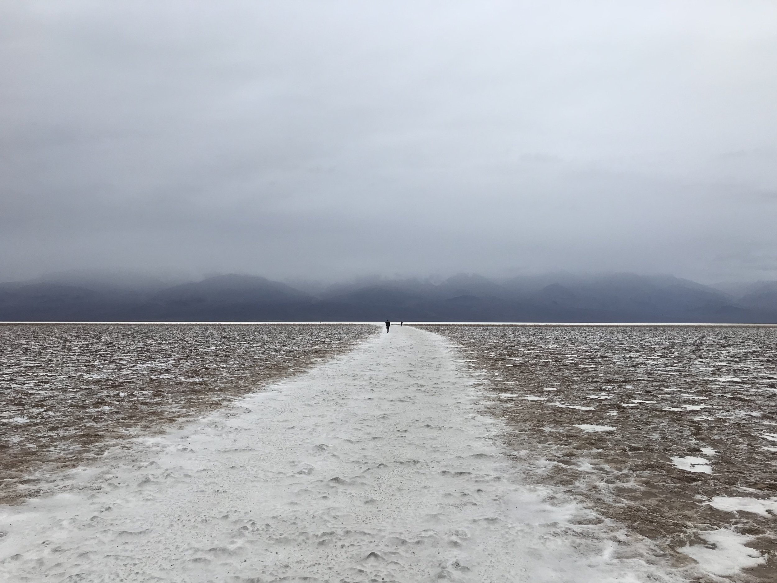
I kind of lucked out with the stormy day, there were still visitors out in the desert but it was not as crowded as I’m sure it can get. Walking out to the salt flats is a good distance, but was easy and enjoyable looking at the glowing salt underneath my feet. I’m sure it is another story in the heat of summer. The desert here can get extremely hot! On July 10, 1913, Death Valley hit a sizzling 134 degrees F, the hottest temperature ever recorded on Earth!
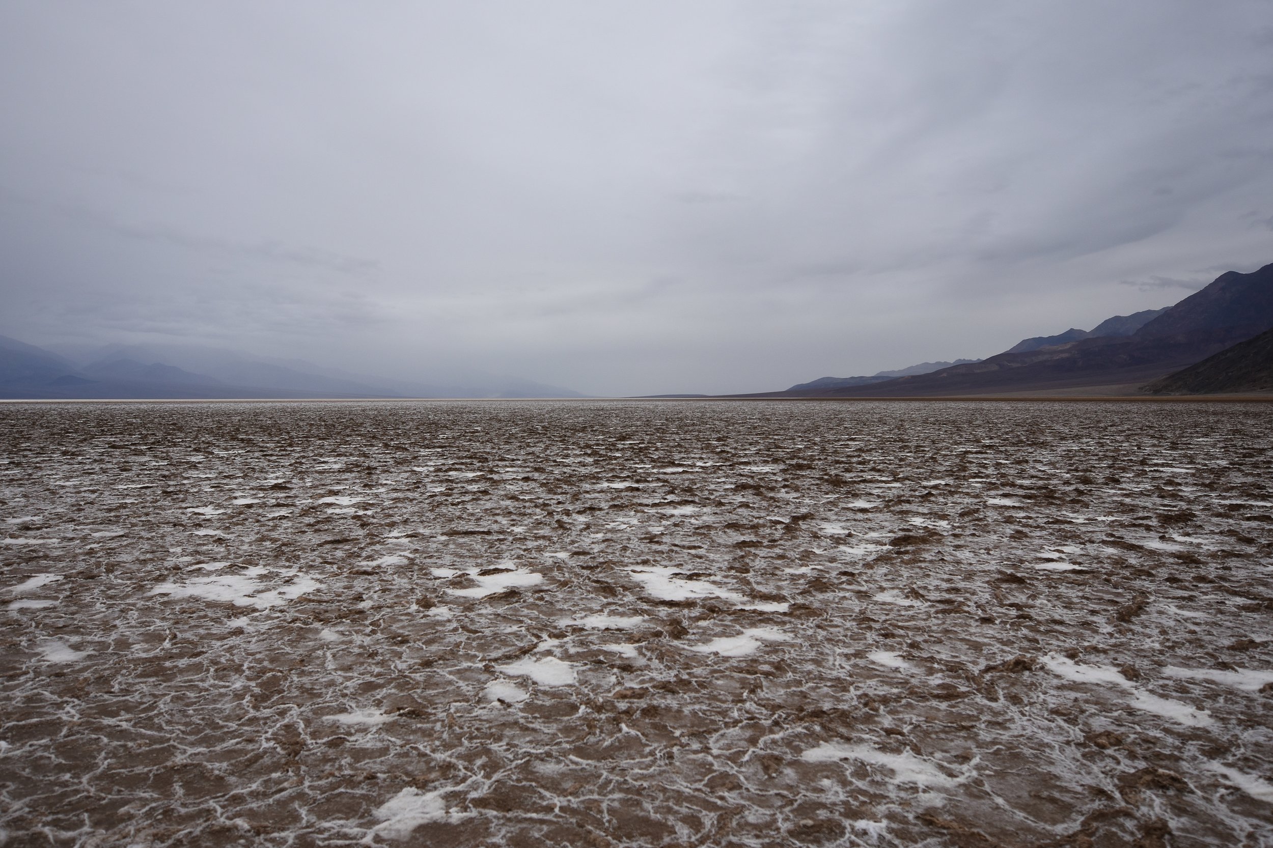
Panoramic Photo of Badwater Basin lowest point in North America, 282 feet below sea level. This is salt not snow by the way!
Photo By: Nichole McDaniel
Here is a link to wikipedia it gives a more detailed description of how the ancient lake evaporated over time leaving the salt crust we see today. Fun Fact: Death Valley also has the highest potential evaporation rate in the United States, with a potential 150 in. annual evaporation rate, meaning a 12 ft. lake could evaporate in a year!
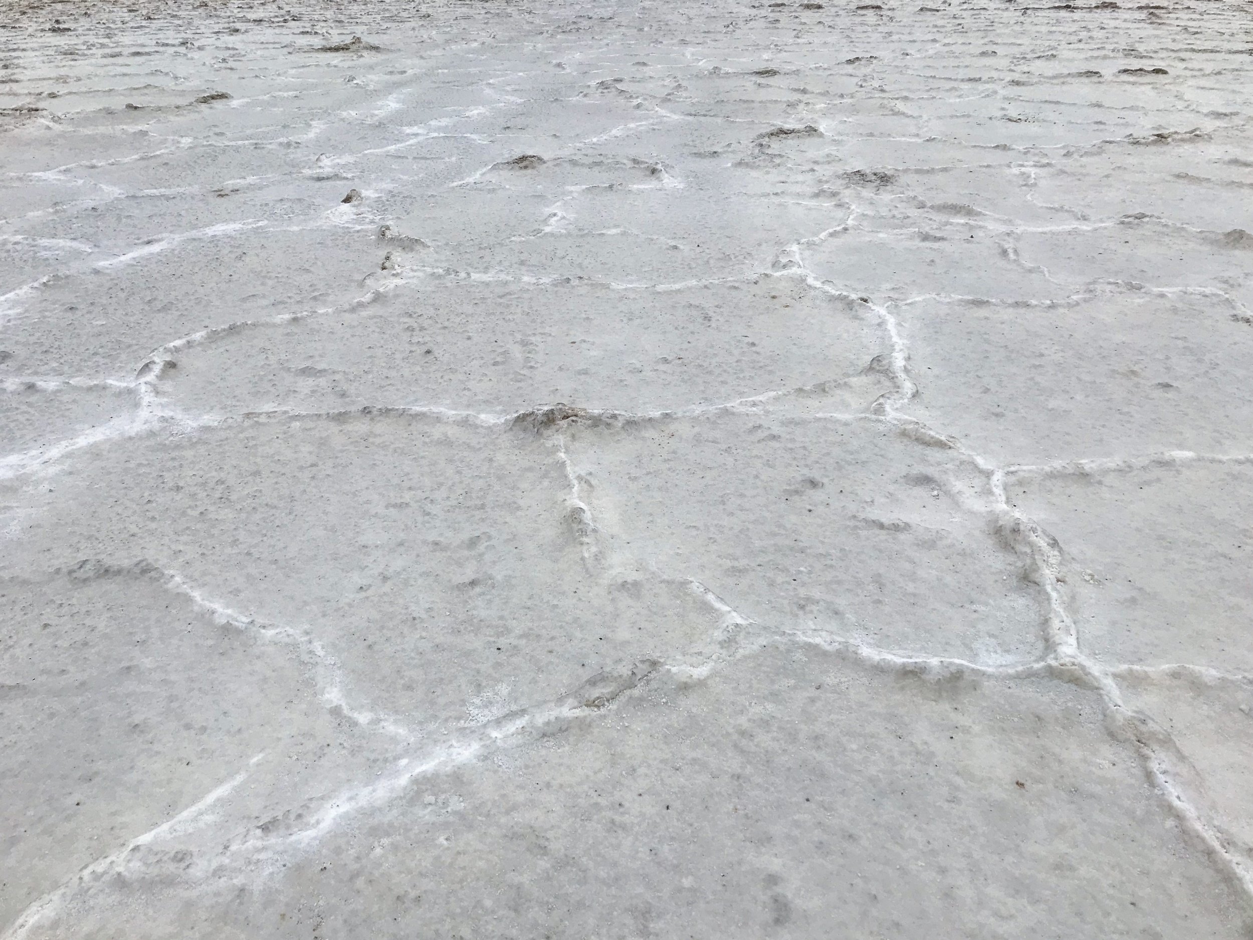
As I walked further out, the salt flats have these raised hexagonal outlines, creating an artistic foreground going into the distance. The vibrant salt, looking like snow, and the unique hues of the storm clouds illuminated the desert. It was so peaceful that I can’t put it into words. I had to sit down for a bit and just take in the moment. Not only was it memorable because it is the lowest point in North America, at an elevation of 282 feet below sea level, but because of it’s unique beauty. It was an experience I will never forget.
A Day in Death Valley: Devil’s Golf Course
The Devil’s Golf Course
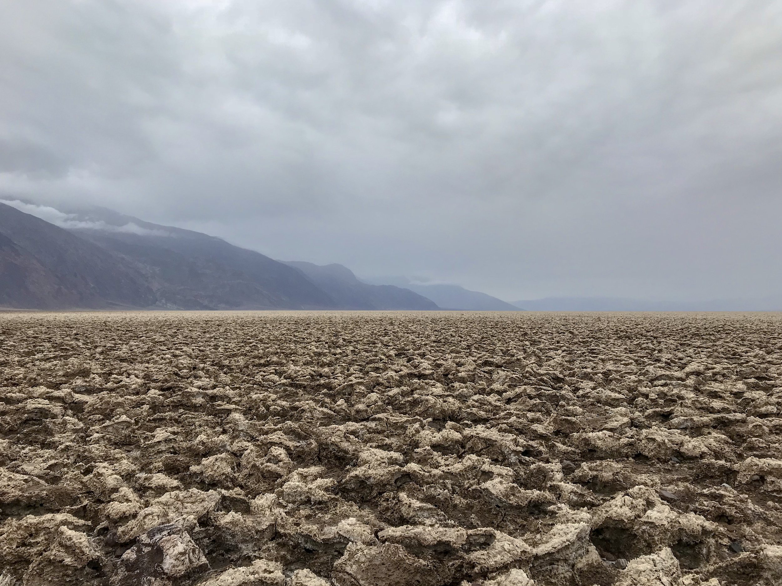
Walking among the salt and rock formations at Devil’s Golf Course, Death Valley National Park
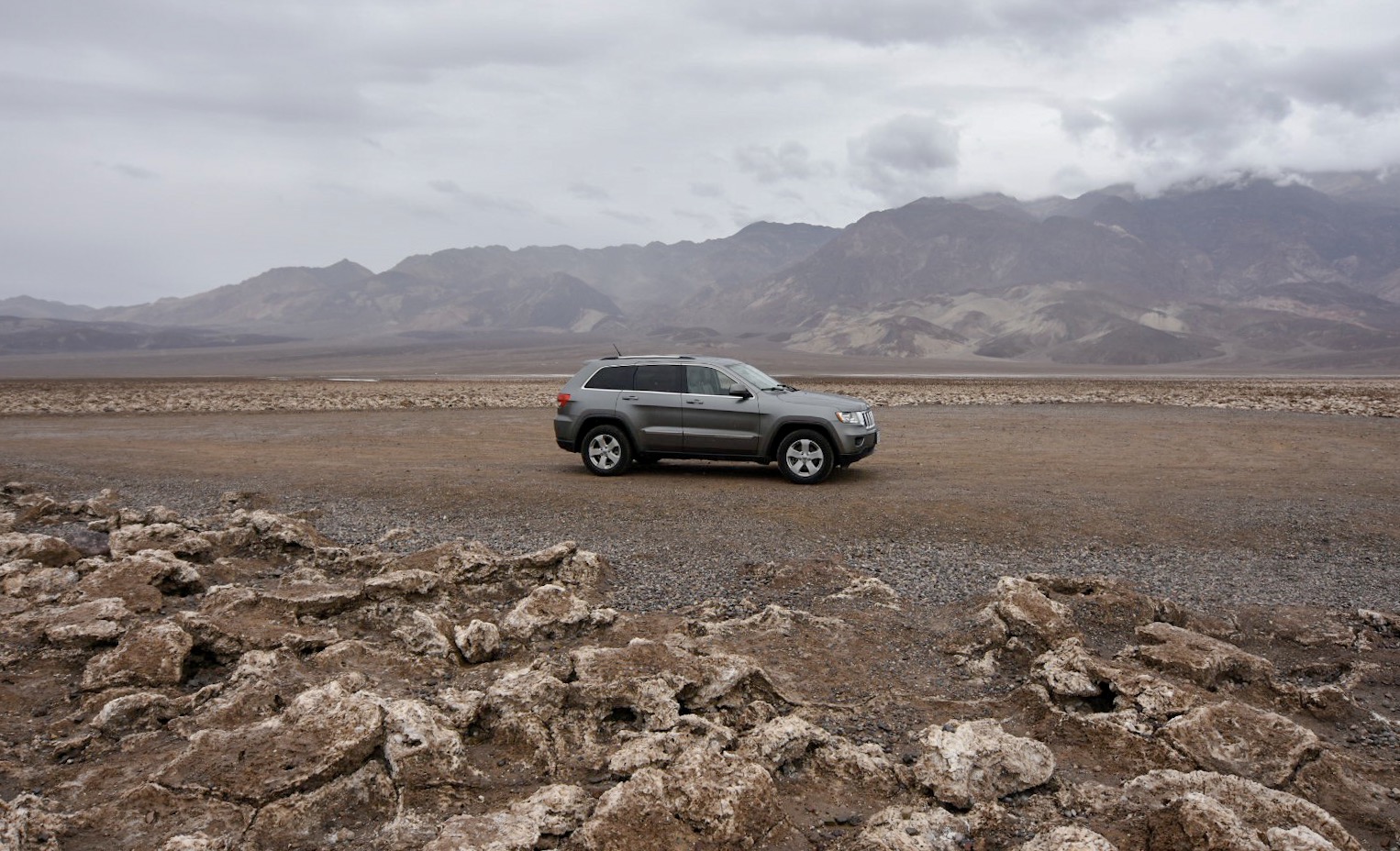
Where "only the devil could play golf" humorously stated the 1934 National Park Service guide book to Death Valley National Monument. Obviously the name stuck. The Devil’s Golf Course can be found 1.3 miles down a gravel road off of Badwater Road. I actually passed it up and had to turn around. This is worth the stop if you have time.
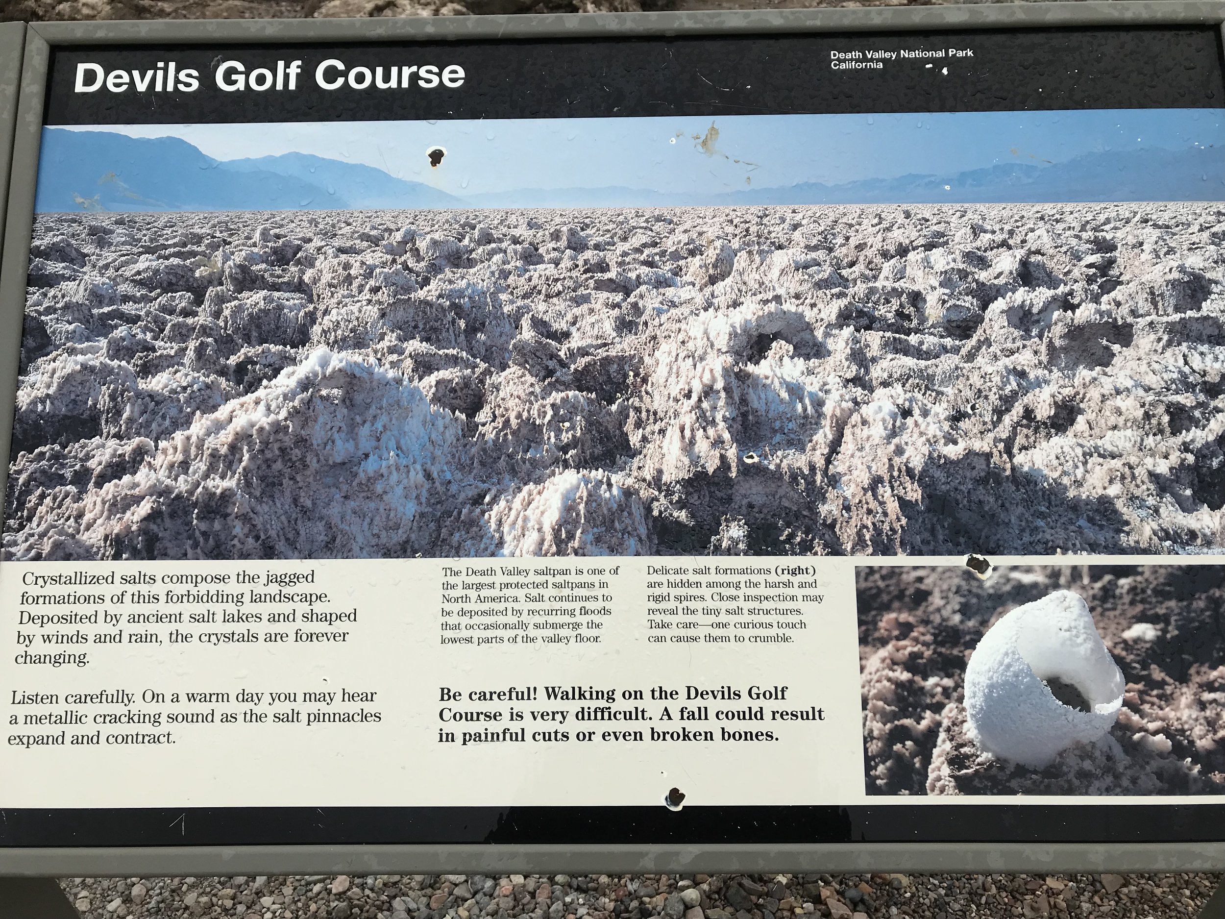
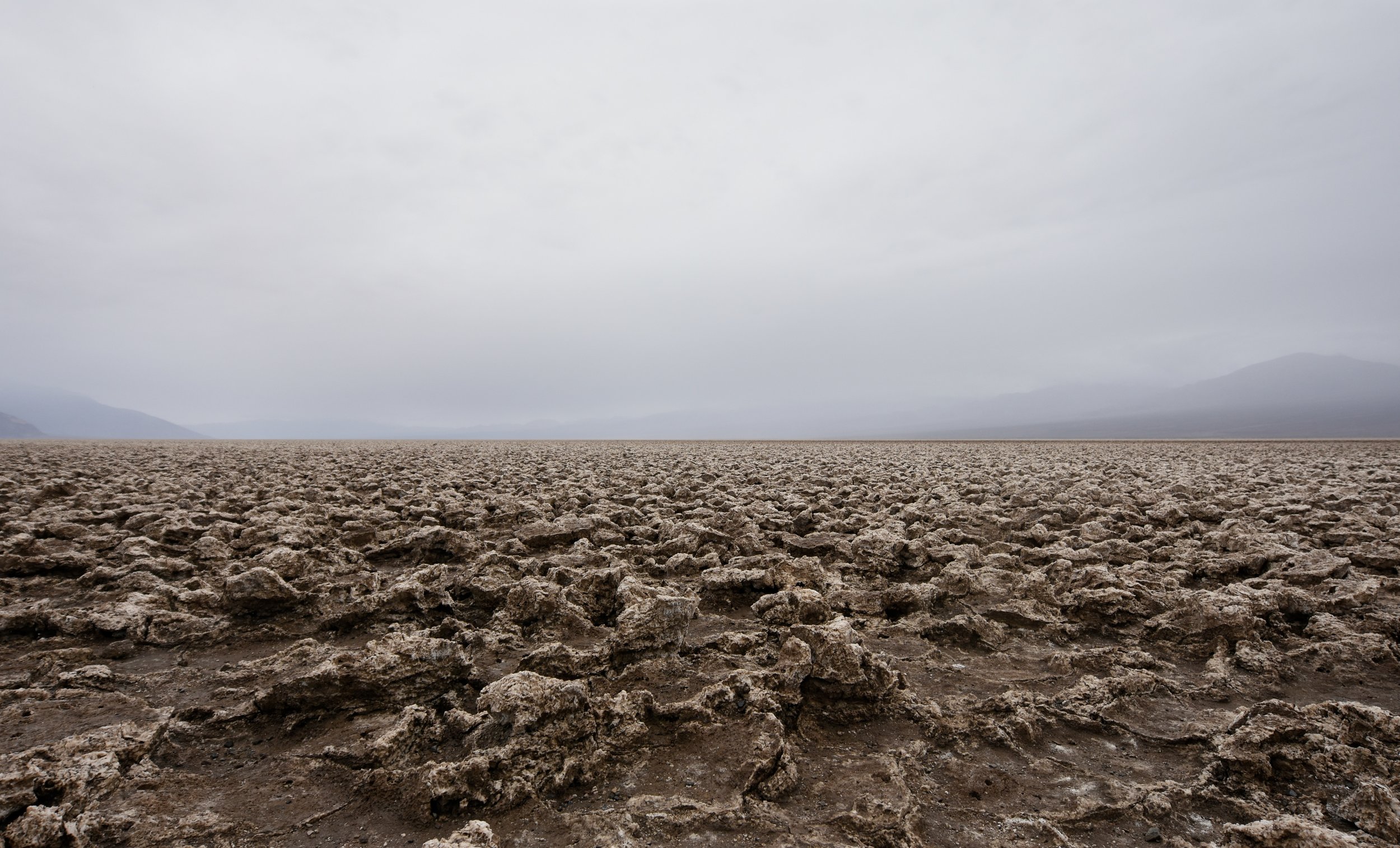
These beautiful and other worldly crystalized salts are forever changing with the weather effects of the desert. It was cold when I went but the sign stated on a warm day you can hear the metallic cracking sound caused by the salt expanding and contracting. Sounds cool, maybe next time. The Devil’s Golf Course along with the Badwater Basin were my two favorite stops.
These formations are really sharp, so please be careful. Devils Golf Course is few feet above the flood level in Death Valley unlike the Badwater Basin. Without the water to smooth the salt pan here, salt pinnacles form. These delicate pinnacles form when the salty water rises up from the mud, the capillary action forces the water up, quickly evaporating, leave a little residue of salt behind. These pinnacles develop slowly, sometimes at rate of an inch in 35 years. This site gives a little more detail about the Lake and process that created the Devil’s Golf Course- Geo Maps.
It is one of the quicker of the stops but I doubt you will see anything else like it.
Panoramic Views of the Devil’s Golf Course
Photo By: Nichole McDaniel


